
Your WAAS Questions Answered
|
|
Your WAAS Questions Answered |
| Below are some frequently asked questions regarding the new Wide Area Augmentation System (WAAS). |
|
|
|
Q: Why do I even need differential correction (DGPS) of any kind since selective availability (SA) has been turned off? GPS_SA_Event_QAs.pdf A: The government disabled SA in May of 2000, but DGPS systems will continue to provide improved accuracy for standard GPS. Although GPS without SA has a horizontal accuracy of approximately 20 meters, systems augmented with differential correction have a horizontal accuracy of 3 meters, which results in safer navigation. Additionally, DGPS systems offer warnings of interruptions to the service to users, whereas uncorrected GPS systems do not. Q: Why should I choose a unit with WAAS instead of beacon differential? A: WAAS provides a more extensive coverage area and is less susceptible to weather, signal interference and range limitations. For example, in the Bahamas and other areas at the fringes of beacon differential coverage, WAAS will provide better positioning. |
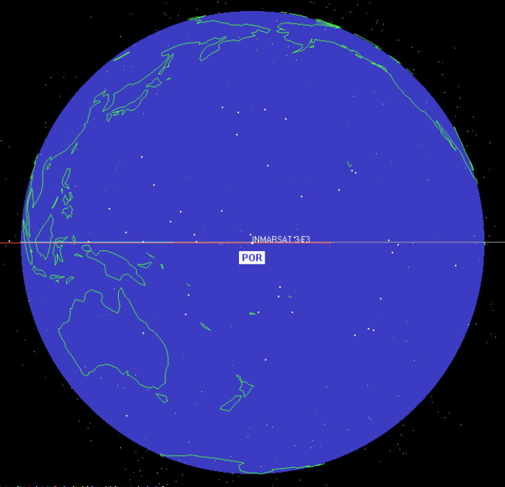
Q: Will I be able to receive WAAS in my area? A: Our testing shows that WAAS is received reliably for navigation purposes along the east coast from Maine to the Bahamas and on the west coast from Mexico to northern California. See the map for the total coverage area. Soon a Pacific satellite will also broadcast the WAAS correction, enabling the Pacific Northwest and Alaska to have full WAAS coverage. Q: I've heard that WAAS is not yet operational and that reliability is not good enough. Is that true? A: The FAA has declared that WAAS is available for VFR aviation and other applications such as boating, recreation, agriculture and surveying. WAAS continues to be developed to provide the necessary integrity for safety-critical aircraft landing applications, and until then WAAS is not approved by the FAA for aircraft IFR navigation. |
Please use your back button to return
Quote Form * News * Glossary * Links * Builders * Email * Home
| CARIBBEAN BOAT and YACHT I N S U R A N C E |
|
| by W.R. Hodgens Marine Insurance, Inc. | |
| 1425 South Andrews Ave Suite 250 | Fort Lauderdale, FL 33316 |
| Ph: 954-523-6867 | Fax: 954-523-6488 |
| Toll Free USA: 800-990-WAVE (9283) | |
 Q: What is WAAS?
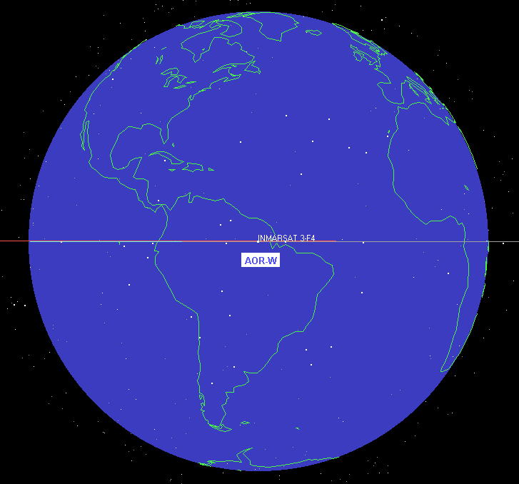